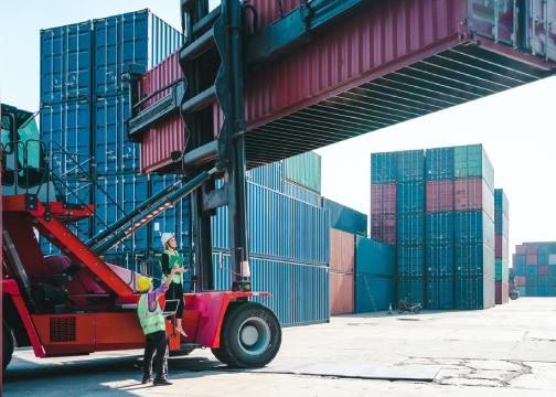

How to track cargo handling equipment at ports
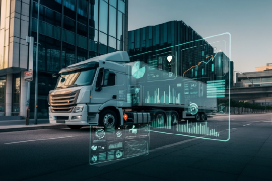
Ports use a variety of methods to track container moving equipment. One of the most common methods is to use a port management information system (PMIS), which electronically tracks and coordinates the use of cargo handling equipment (CHE).
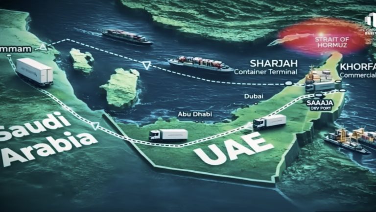
Another method is to use GPS-based container tracking devices that are attached to the exterior of container equipment. These devices send GPS location data via cellular or satellite networks, allowing port operators to track the location of equipment in real-time.
Some ports also use remote satellite systems to track cargo containers. These systems pull up satellite images of a container ship at any time and relay them back to the base station.
By using these methods, ports can improve their operational efficiency and ensure that cargo containers and the equipment that moves them are tracked accurately throughout their journey.
Both port management information systems (PMIS) and GPS-based container tracking devices have their own advantages and disadvantages. PMIS electronically tracks and coordinates the use of cargo handling equipment (CHE). They can help you track your shipments in real-time, monitor inventory levels, and predict demand. PMIS can also help you gain better visibility into your supply chain by integrating all your supply chain data into a centralized system.
GPS-based container tracking devices, on the other hand, can help you track the location of container equipment in real-time using GPS location data. This can help you ensure that cargo containers are tracked accurately throughout their journey.
The choice between PMIS and GPS-based container tracking depends on your specific needs and requirements. If you need to track cargo handling equipment and monitor inventory levels, PMIS might be the better option. If you need to track the location of containers in real-time, GPS-based container equipment tracking may be more suitable. Additionally, GPS-based tracking solutions can provide an extra layer of security to detect container theft. For instance, FleetUp provides a smart lock that combines an electronic asset tracker and a removable lock. This smart lock uses active RFID, GPS, and cellular technology to track intermodal containers. FleetUp’s GPS asset tracking software and smart lock technology deliver industry-leading GPS tracking and robust cargo security. FleetUp’s keyless GPS smart lock is a tamper-proof container seal. It automatically notifies staff via text or email the moment a break-in occurs and provides real-time location data for your cargo so you can respond immediately. You could also consider using both PMIS and GPS-based technologies together to gain maximum visibility into your supply chain operations.
FleetUp provides a comprehensive GPS tracking platform that enables ports to monitor and optimize their equipment in real-time. To ensure smooth operations, it is essential to keep track of all your port equipment, including reach stackers, straddle carriers, side lifters, and forklifts. In addition to tracking GPS location, FleetUp can also assist managers in monitoring engine status and preventing unauthorized use or theft. With FleetUp, you can gain complete visibility into your port operations and improve your overall efficiency. If you’re interested in learning more about FleetUp’s solutions, be sure to request a demo.